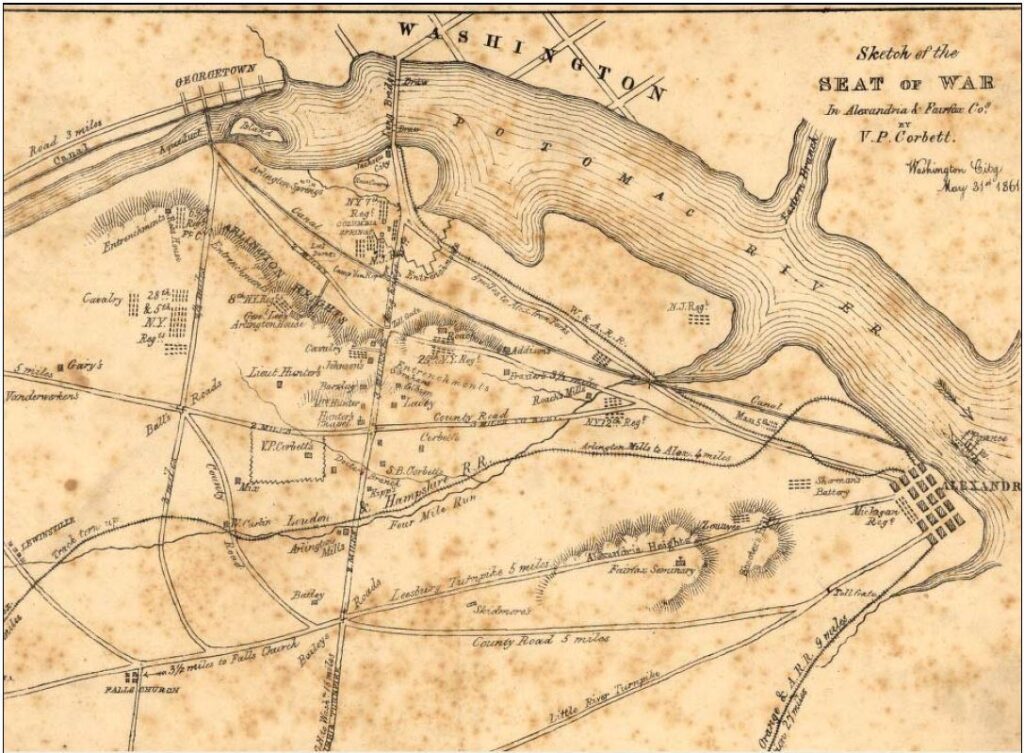
On May 24th, 1861, over 11,000 Union troops crossed the Potomac River and entered what is now called Arlington county. Their goal was to secure the strategic heights overlooking Washington, D.C. Following the April 12, 1861 rebel attack on Fort Sumter in Charleston, South Carolina President Abraham Lincoln called for 75,000 volunteer troops to defend the Capital.
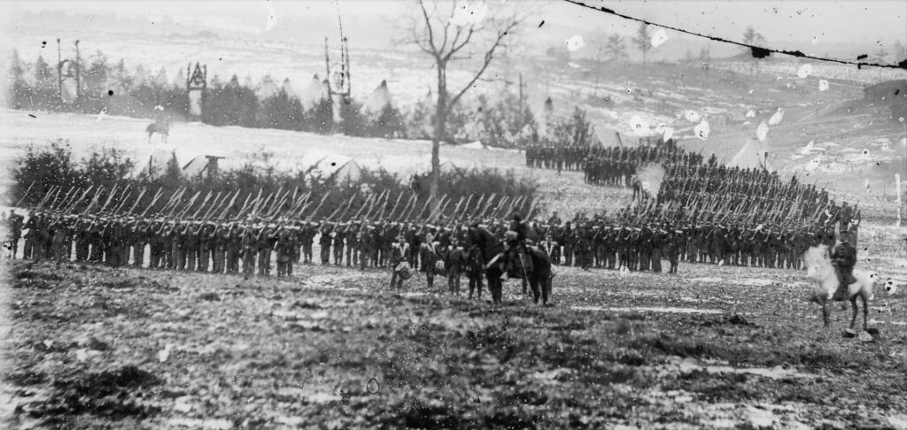
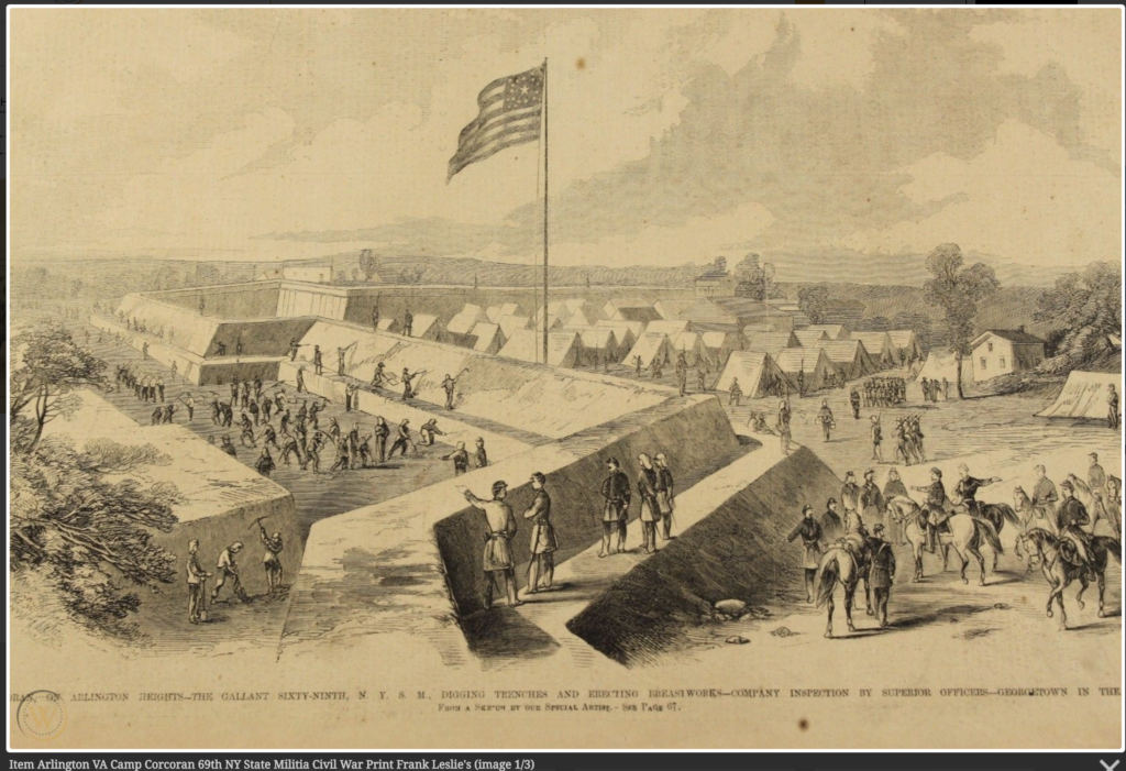
The troops arriving in and around Washington were comprised of state militias and volunteers from all over the north, some as far away as Wisconsin and Maine. Lincoln and his administration were fearful of an immediate enemy attack and there was a sense of urgency to build the necessary forts and camps to protect the Capital. Overnight, the rural population of Arlington numbering less than two thousand people, mushroomed to over 30,000. It was the largest concentration of military forces in North America at the time.
“Mapping the Civil War in Arlington” is a prototype project that demonstrates the value of geospatial analysis as resource to track troop movements during a specific historical period. In the first six months of the Civil War Arlington was at the epicenter between two large armies. While the first Battle of Bull Run/Manassas did not occur until July 21, 1861, the months proceeding and following the battle were witness to a steady and almost daily contact between northern and southern troops. These small military engagements often took place along the Arlington and Falls Church border.

Long overshadowed by the major battles that were to take place in 1862 and beyond, the military conflict in Arlington is a forgotten period of US history that is worthy of retrospect. The major combatants of both sides, including William T.Sherman, George B. McClellan, James Longstreet, and Jeb Stuart all lived and fought in and around Arlington in 1861. For a brief period of time the Confederates seriously considered attacking the Arlington Heights (now known as Fort Myer).
The primary focus of the prototype project is on the early Union regimental camps in Arlington. An expanded project would include more geospatial details of fort locations, local military engagements, and other topographical features, like bridges, hills, and roads. Finally, the project also has the potential to personalize the war by permitting researchers and students to identify individual units and soldiers and track their real life stories.
One reply on “Mapping the Civil War in Arlington”
Hi, this is a comment.
To get started with moderating, editing, and deleting comments, please visit the Comments screen in the dashboard.
Commenter avatars come from Gravatar.